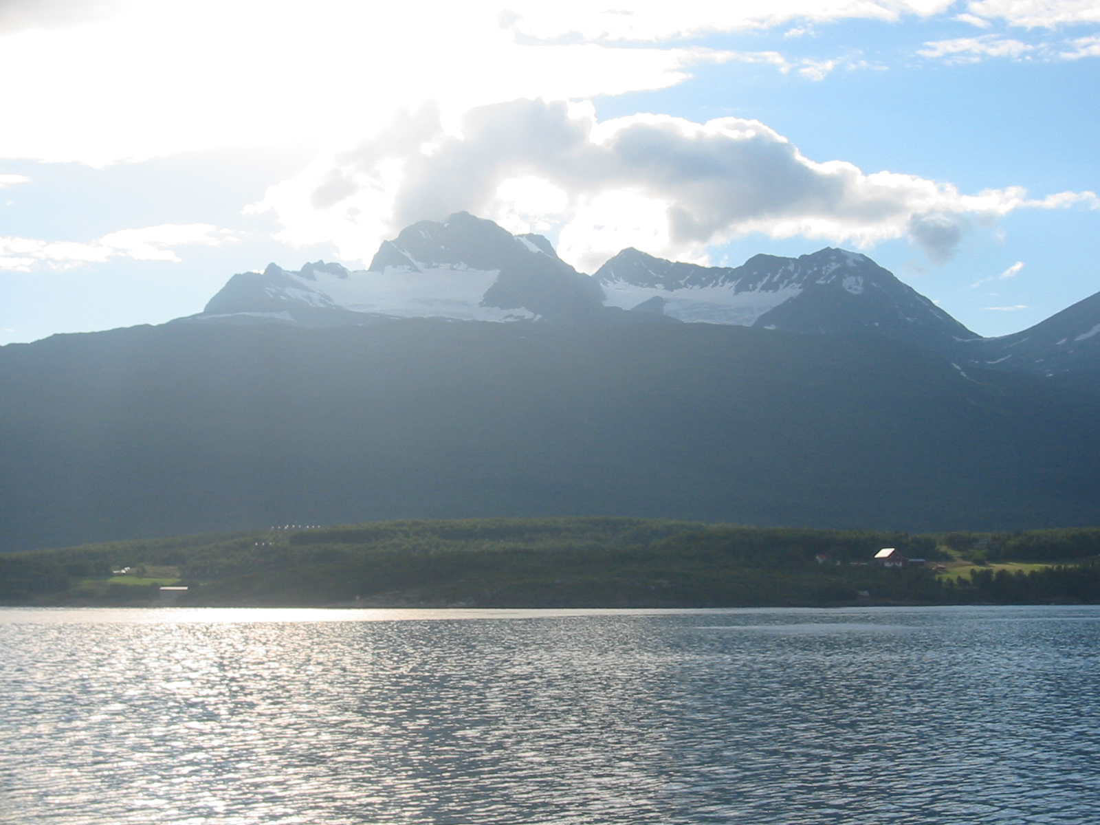
Picture 2: Looking over the Lyngen fjord from the camp.
Picture 3: In the lower part of Rotenvikbreen.
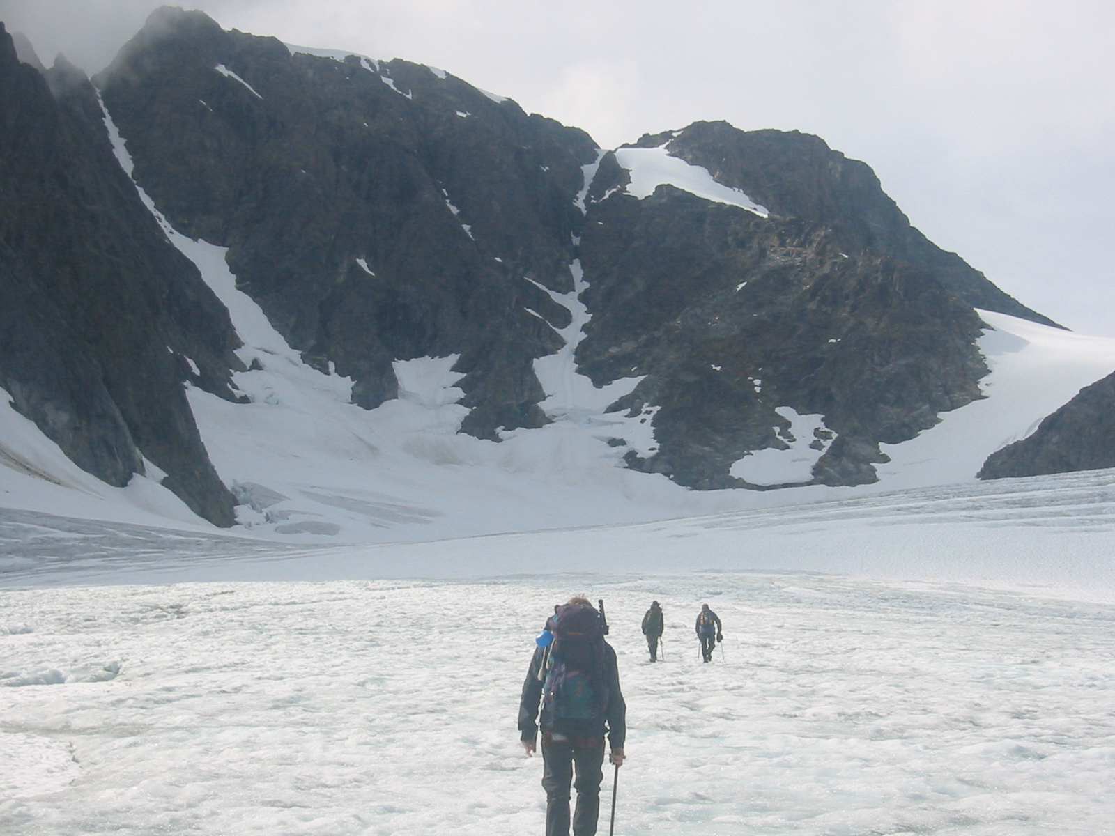
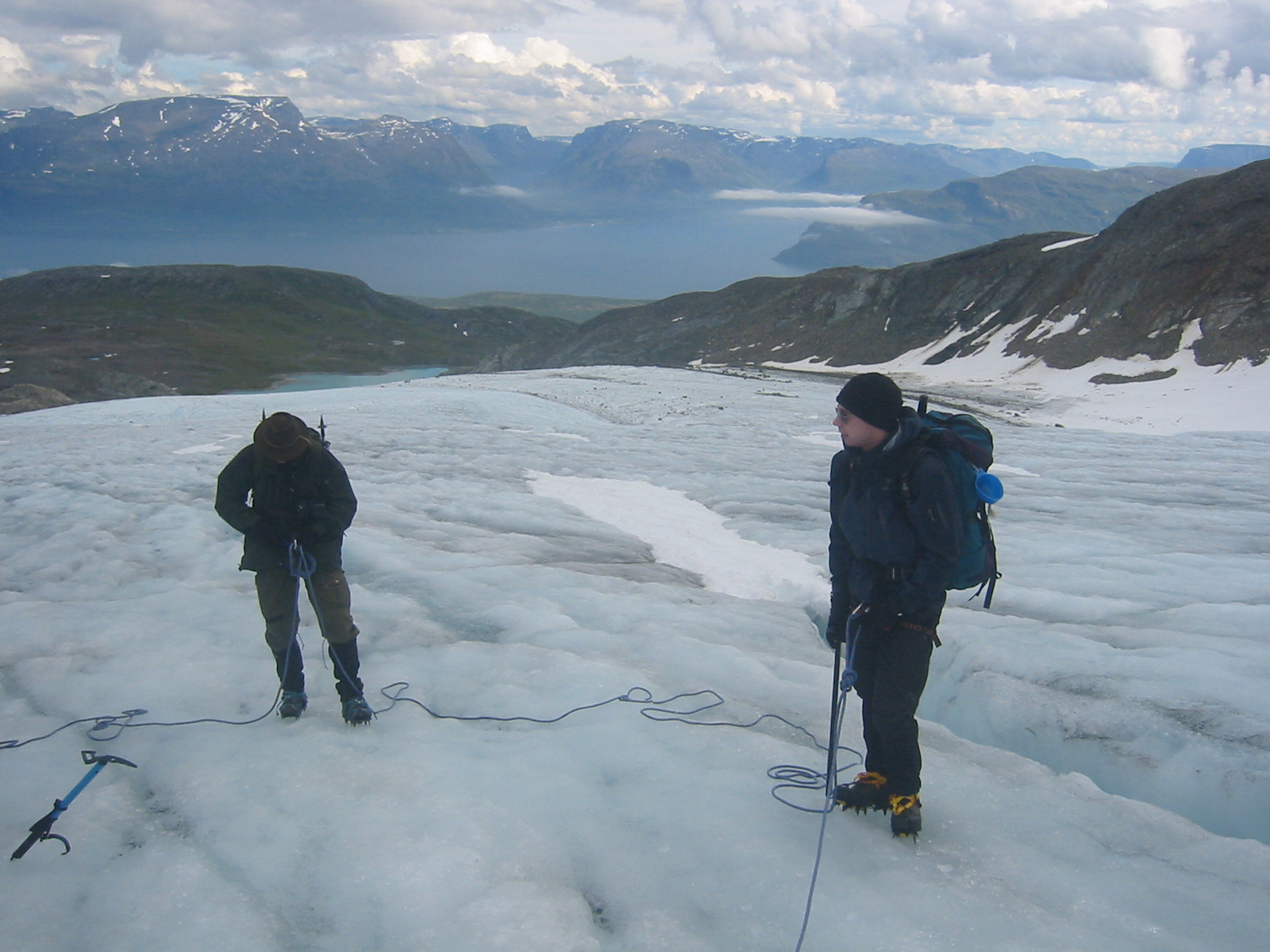
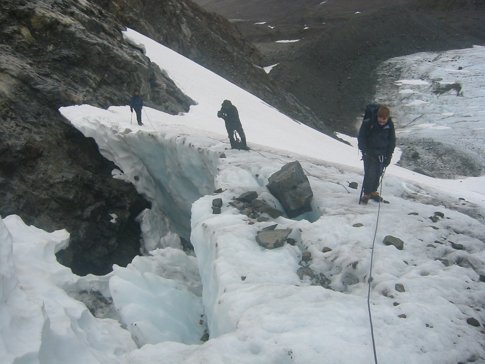
Picture 4: Roping up for the upper part.
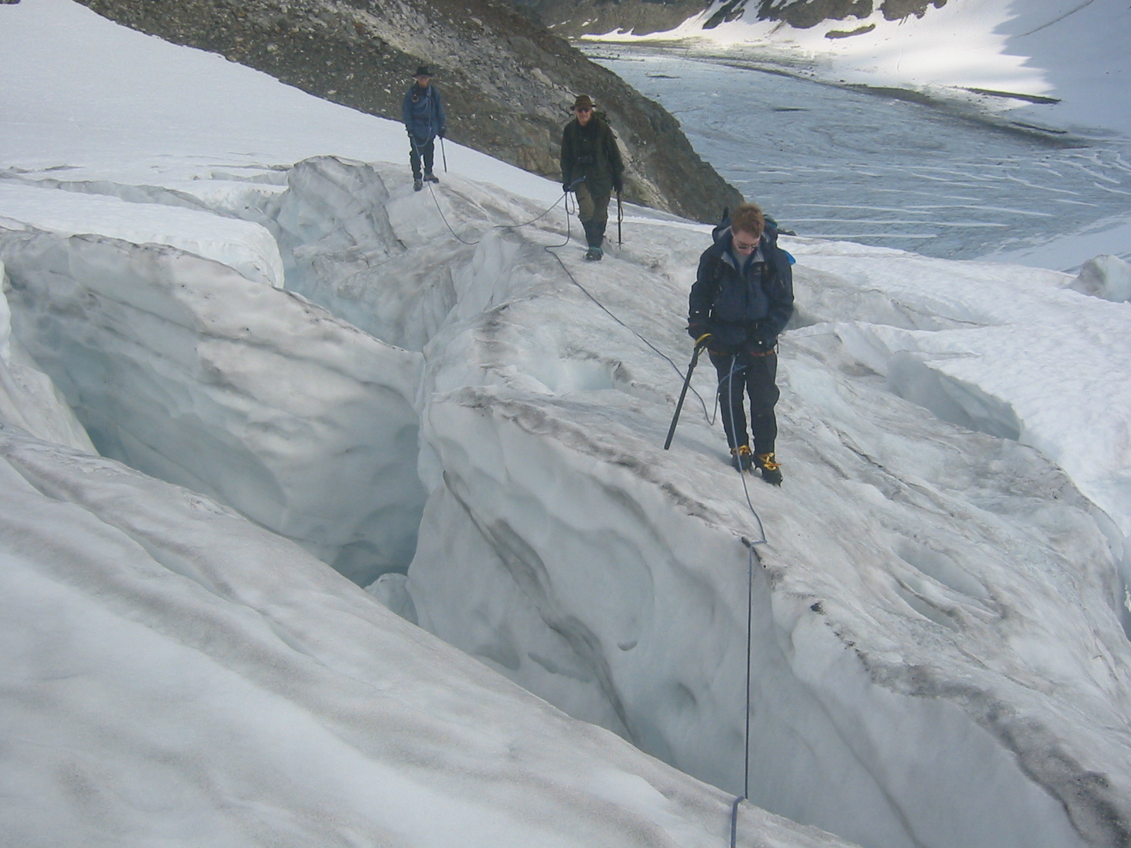
Picture 5: Crevasses in the steep section.
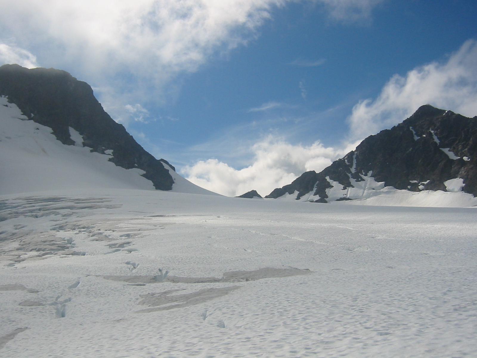
Picture 6: The upper plateau with Istinden on the right.
Picture 7: Looking down the Istinden ridge.
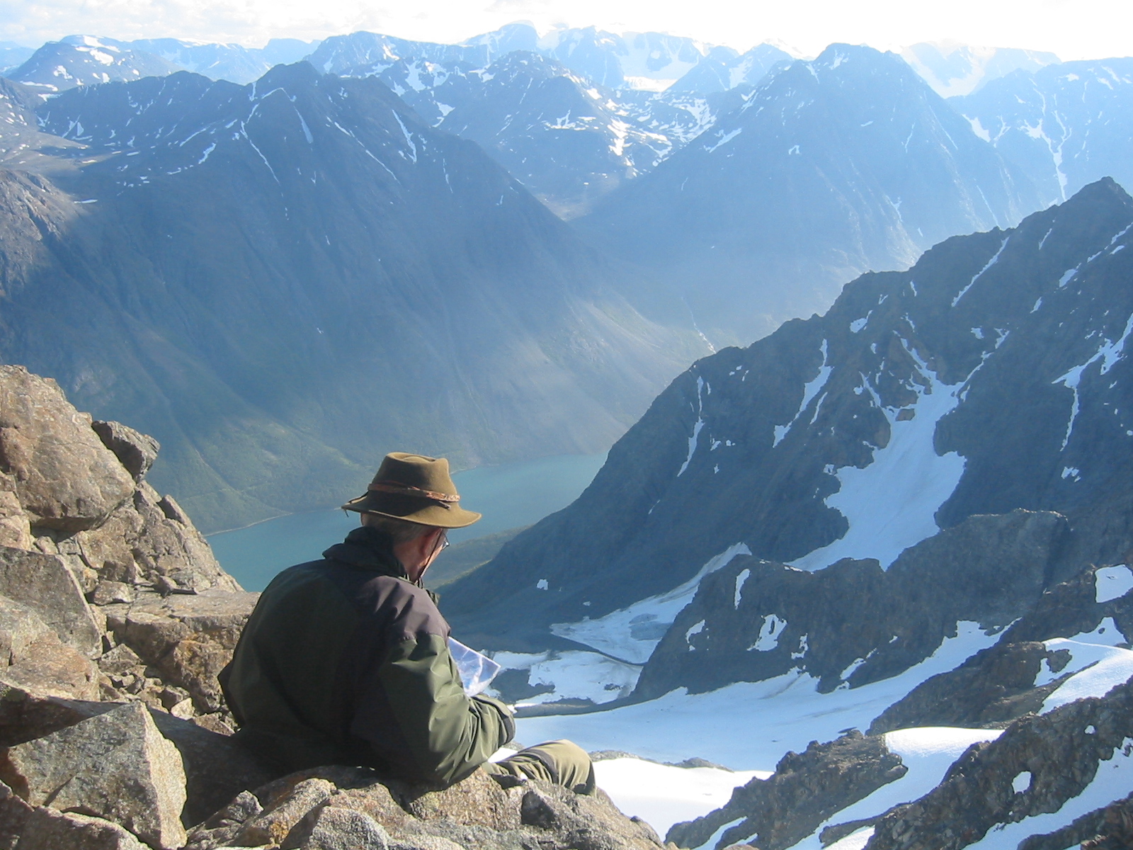
Picture 8: Kjosen fjord and South Lyngen seen from the ridge.
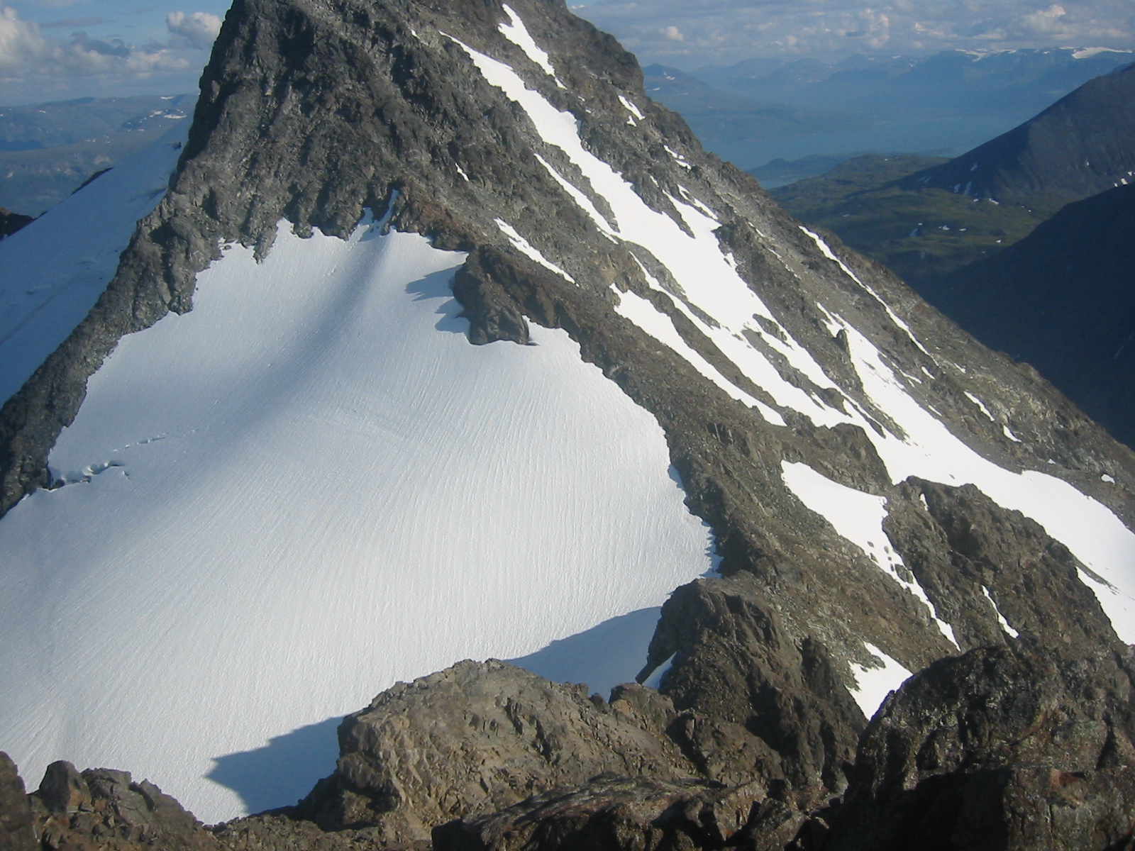
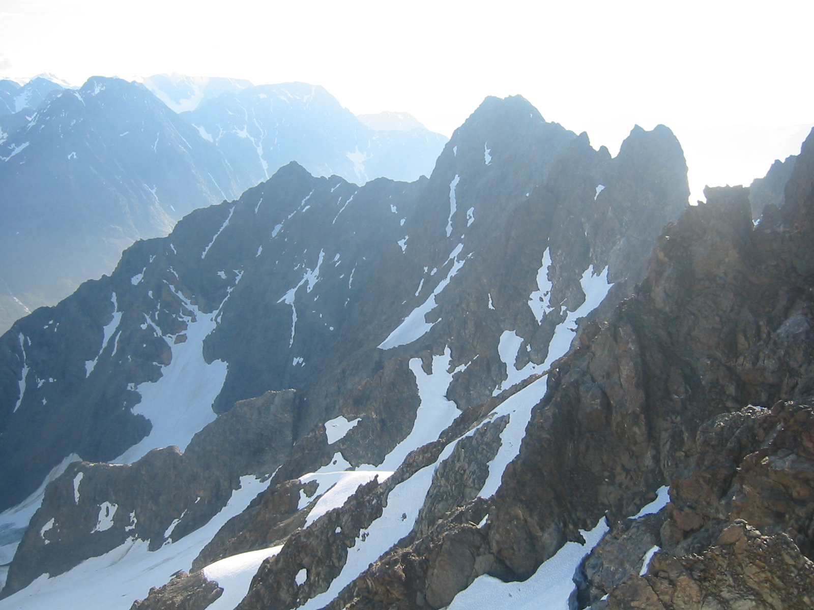
Picture 9: Pinnacles south of Istinden.
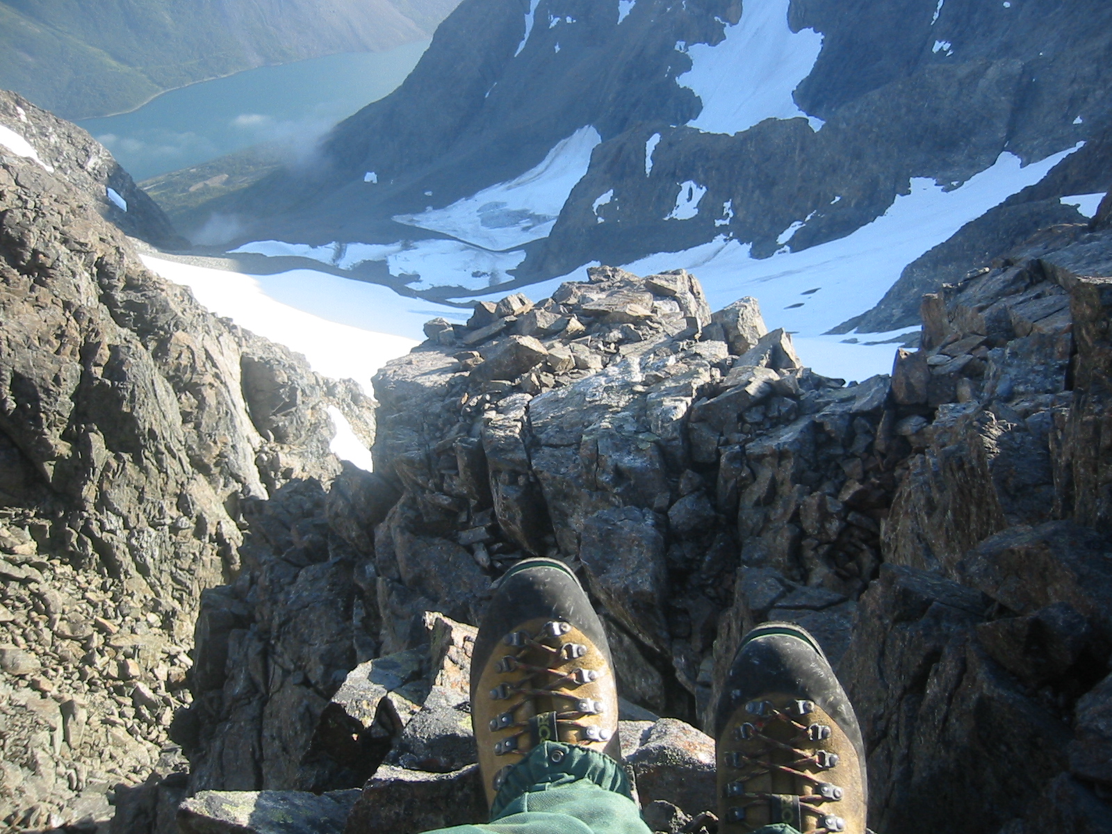
Picture 10: Kjosen under my feet.
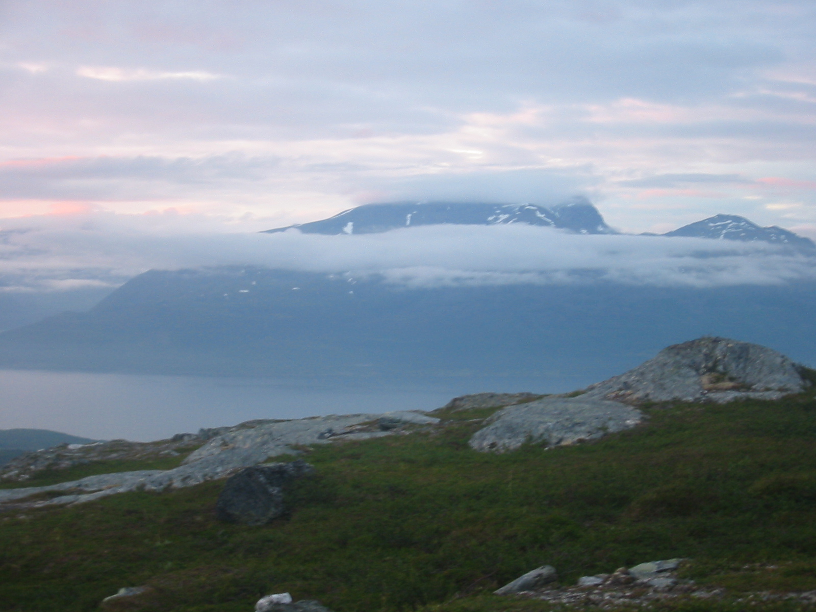
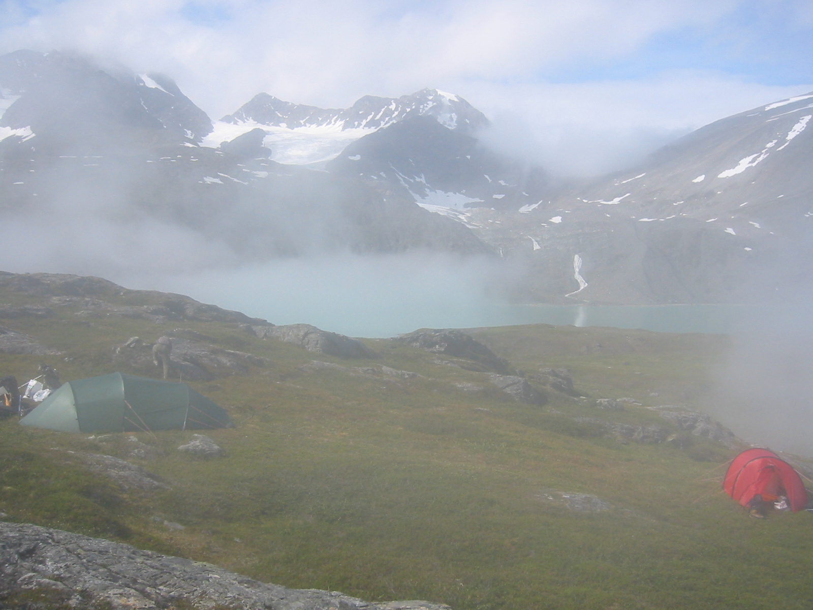
Picture 11: Morning mist around Rotenvikvatn.
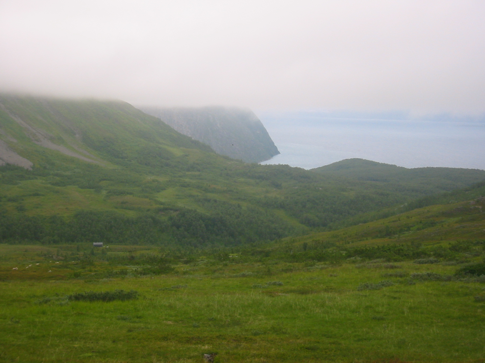
Picture 12: Precipice north of Lyngseidet.
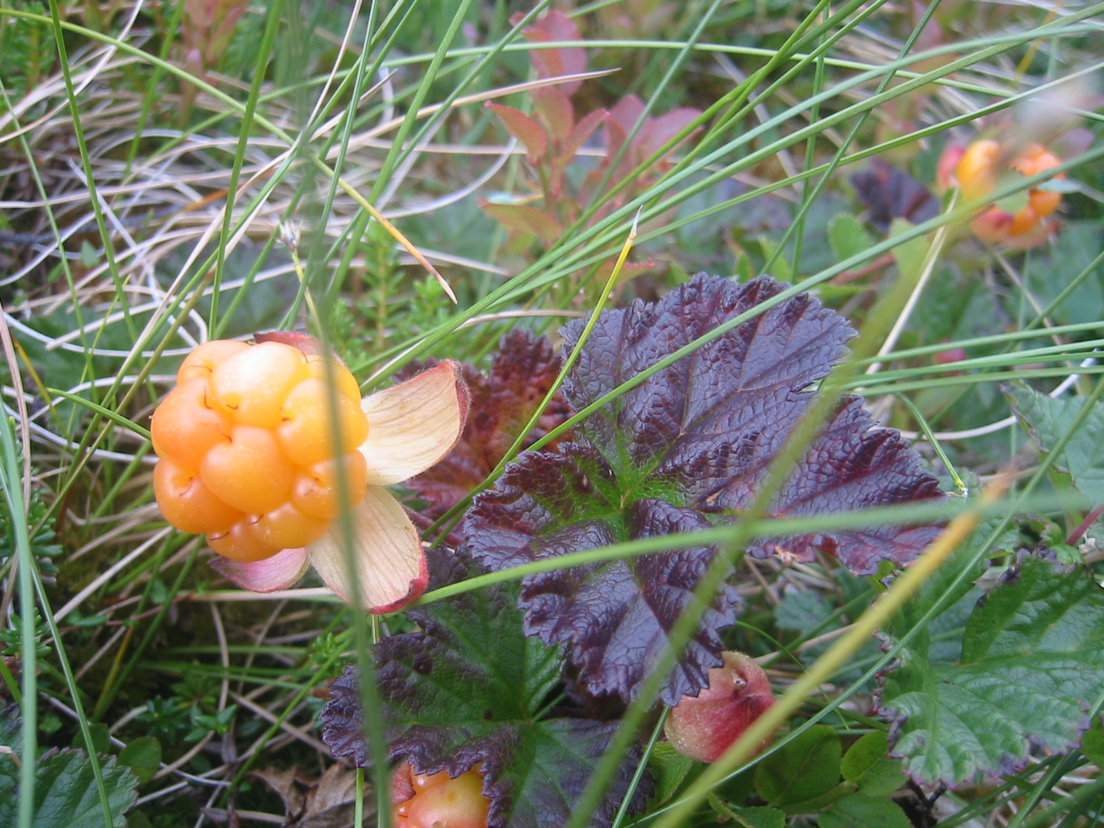
Picture 13: Cloudberries (rubus chamaemorus).
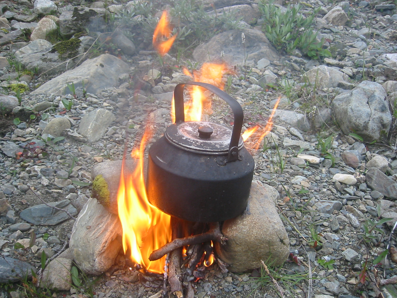
Picture 14: Willow fire.
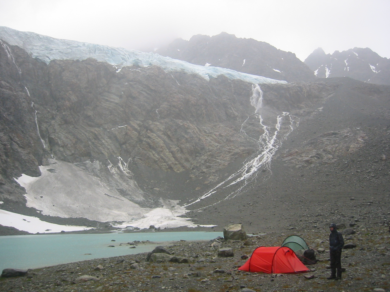
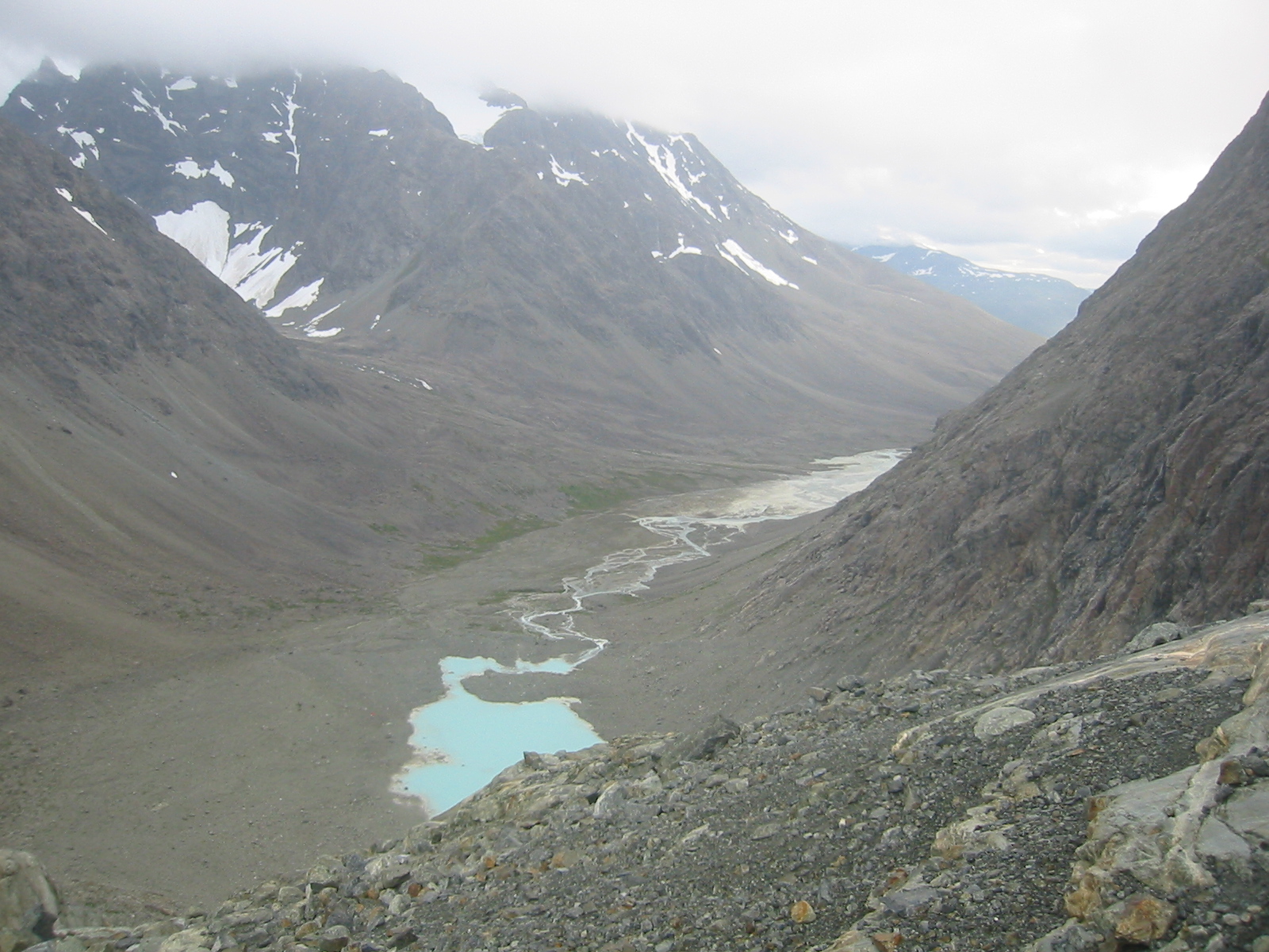
Picture 15: Glacial lake at 200m, Stortinddalen.
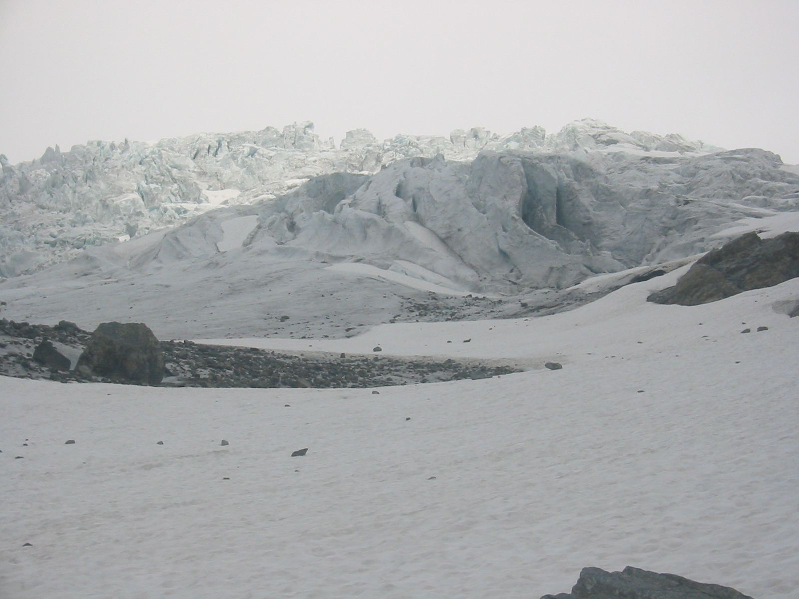
Picture 16: Seracs big as tenement houses.
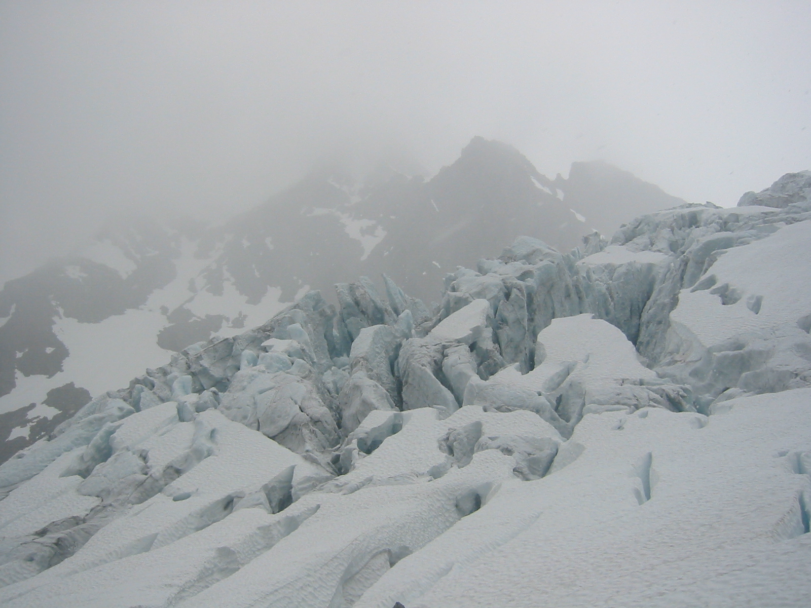
Picture 17: Crevasses on Istinddalbreen.
Picture 18: Seracs and Tvillingtinden.
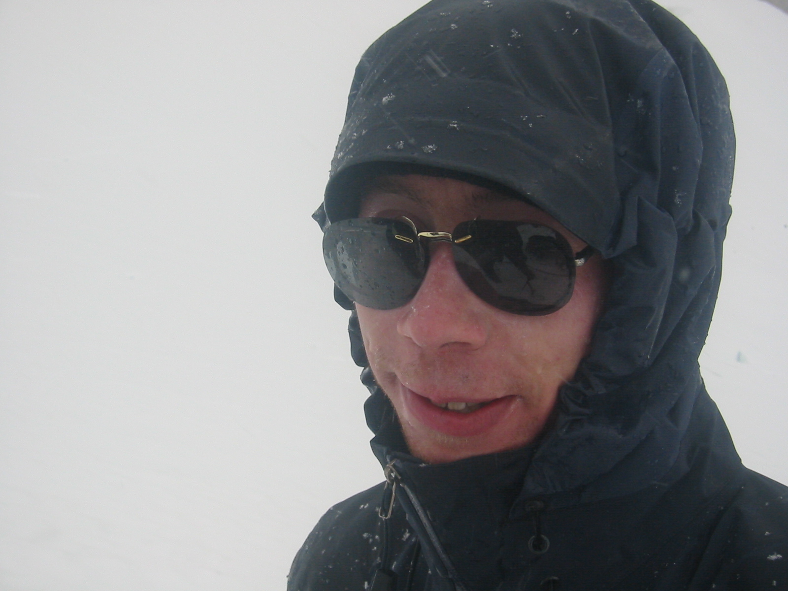
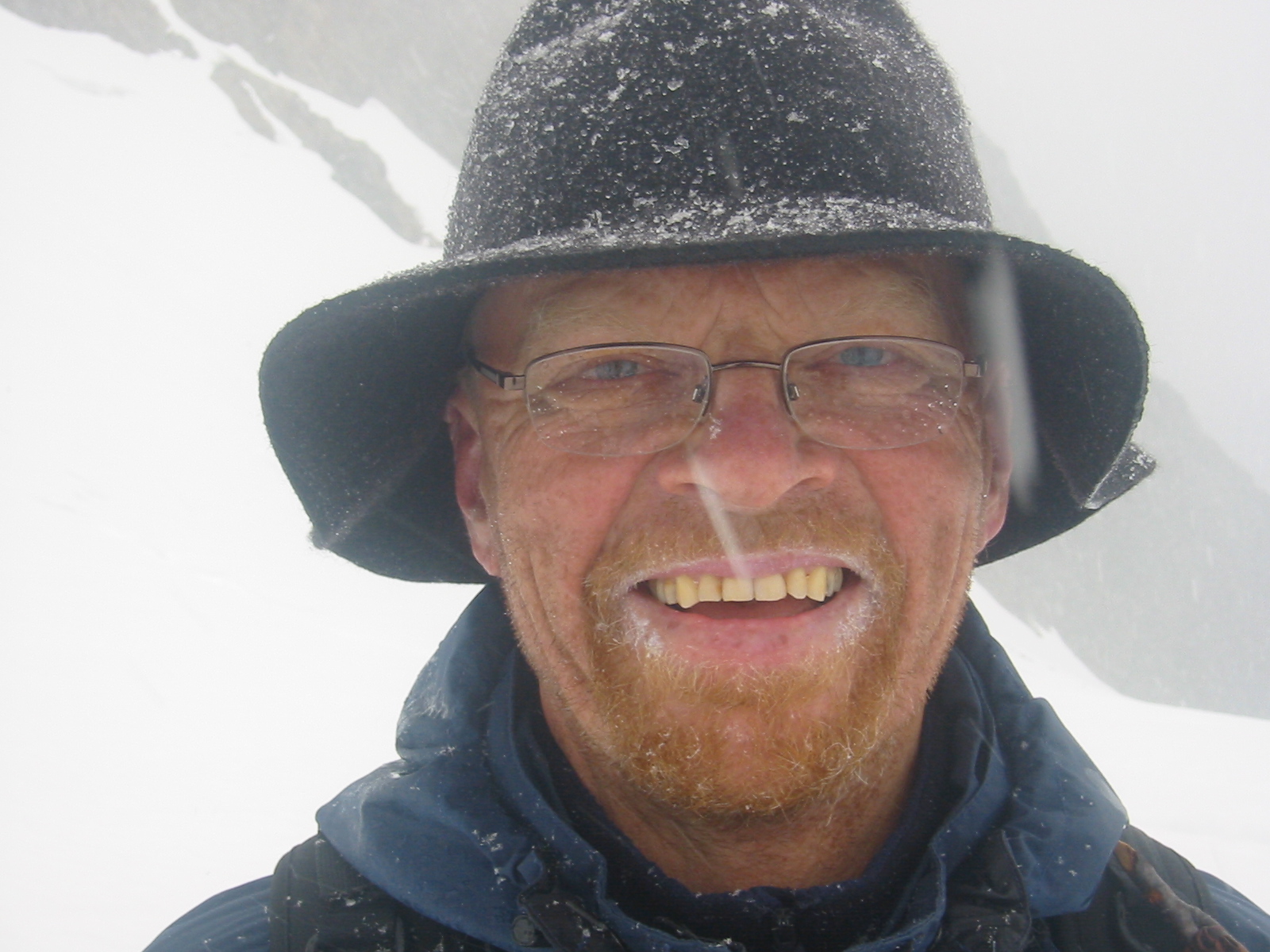
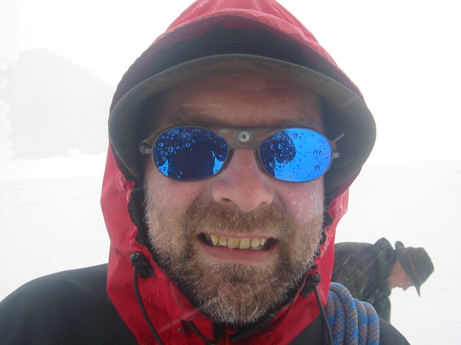
Picture 19: Happy snow men.
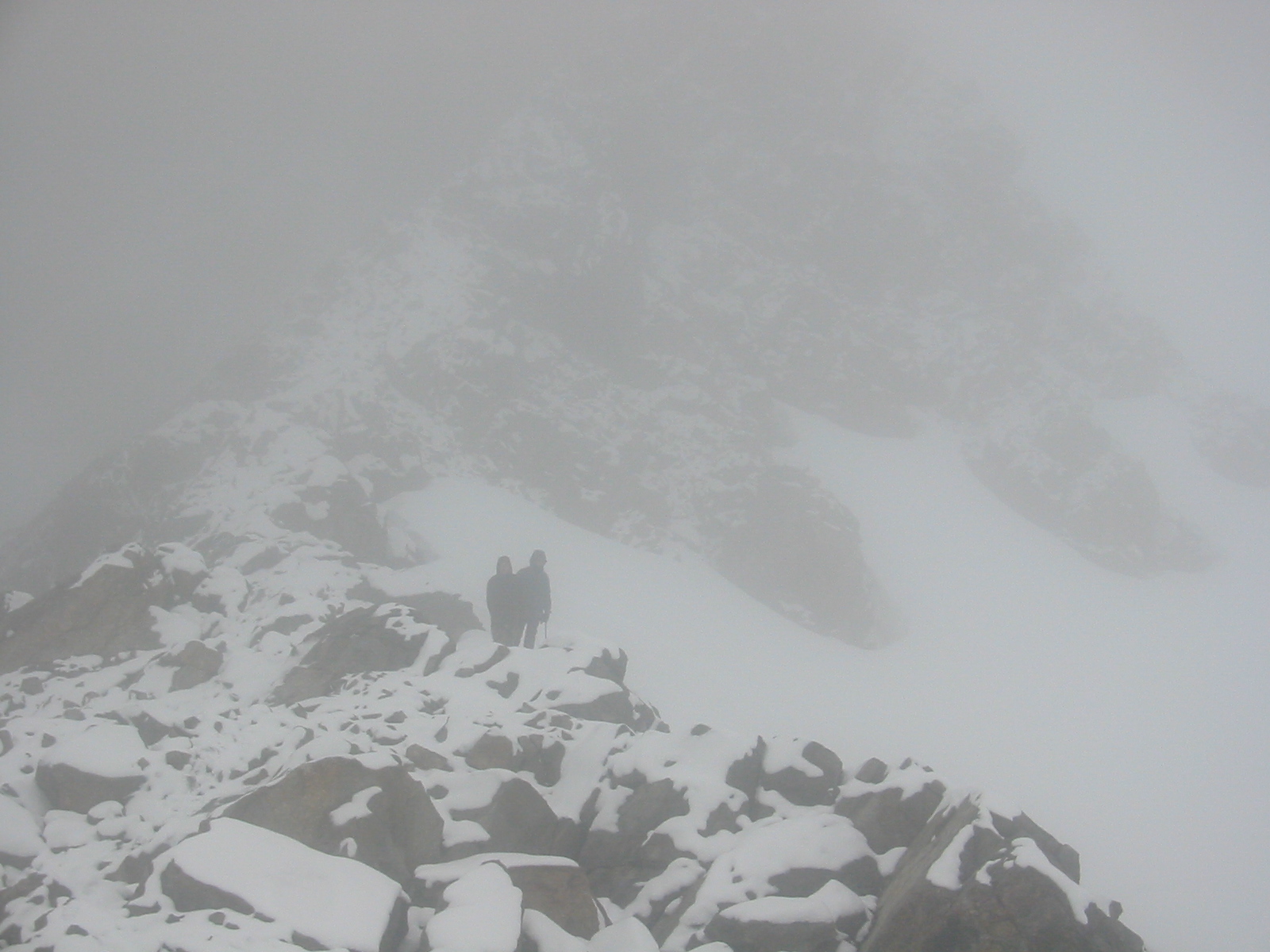
Picture 20: Encounter on Trolltinden ridge.
Picture 21: Our camp (a red and a green tent!) down in Stortinddalen.
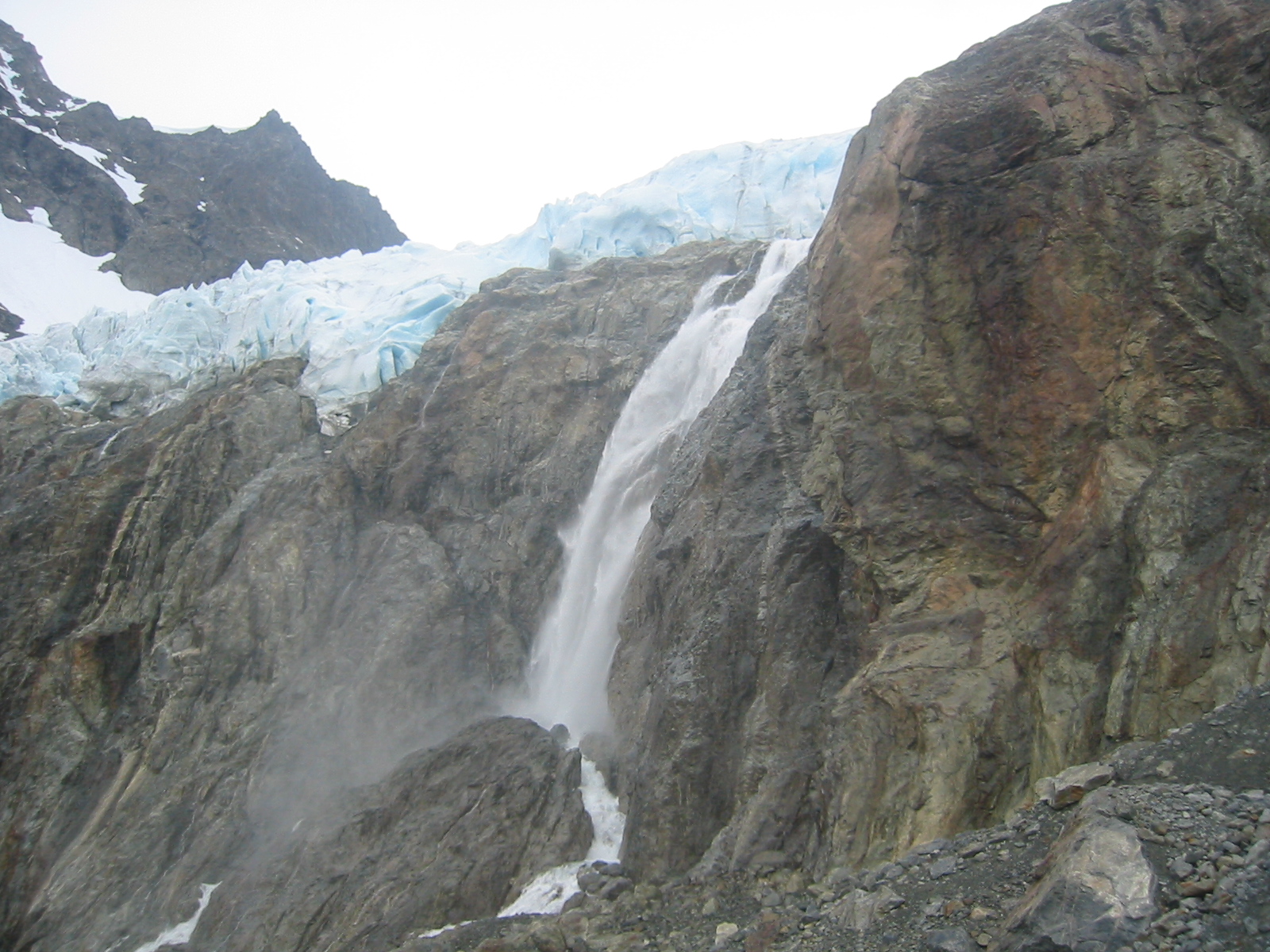
Picture 22: 50m waterfall and seracs in Stortinddalsbreen.
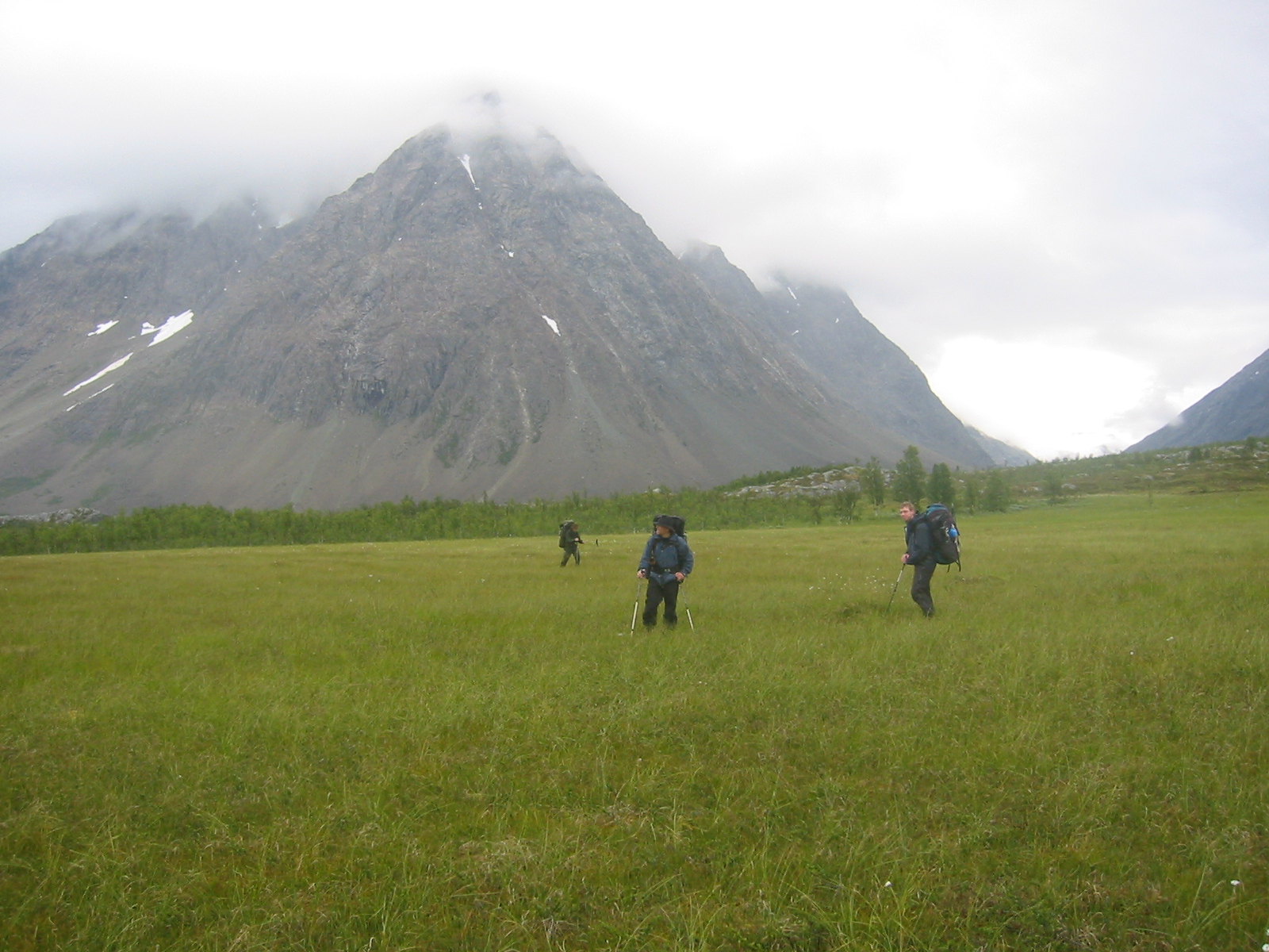
Picture 23: Marshland under Stortinden.
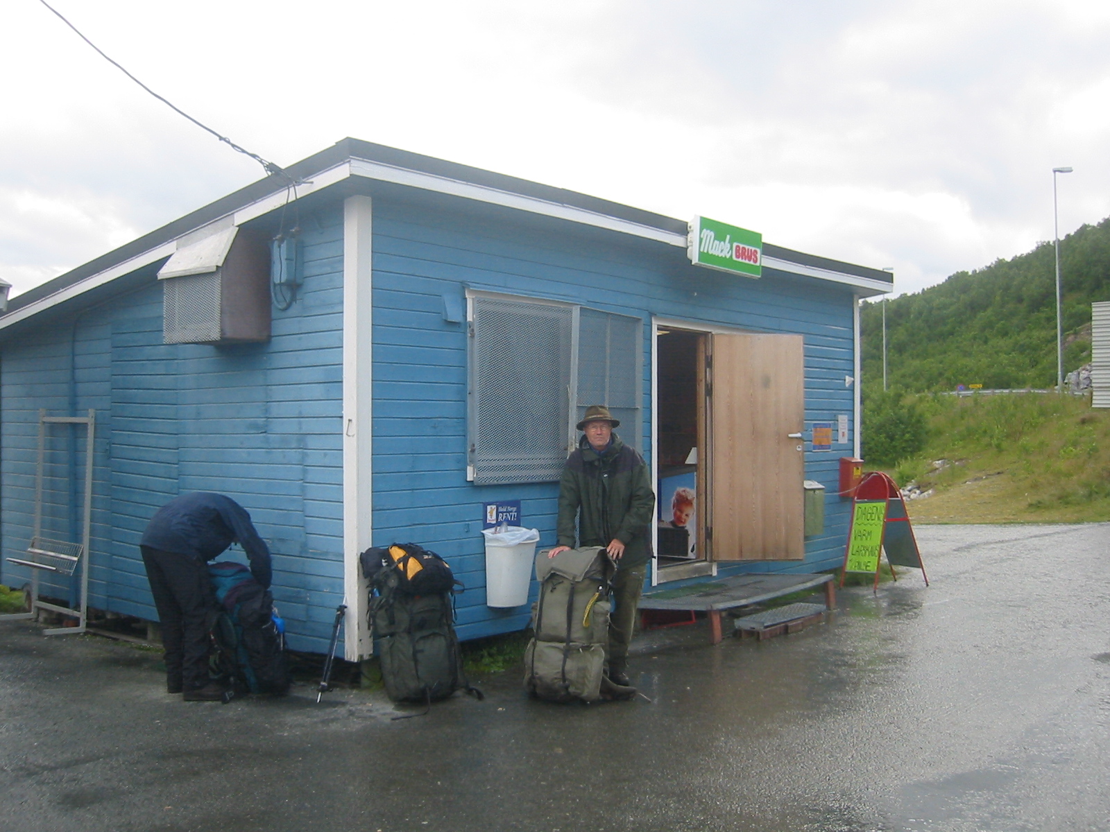
Picture 24: 4-hour bus waiting in Breivikeidet.